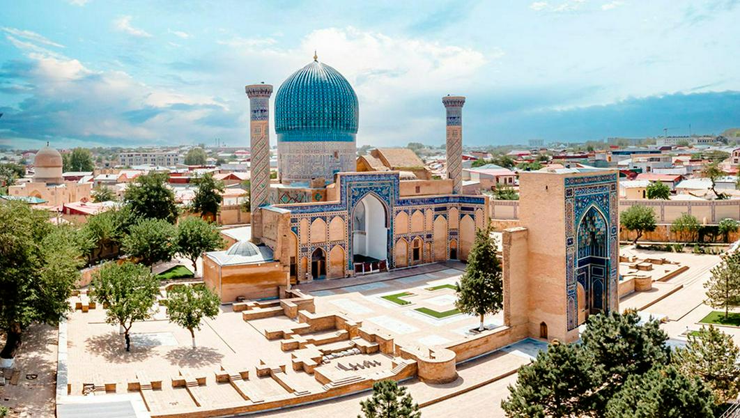
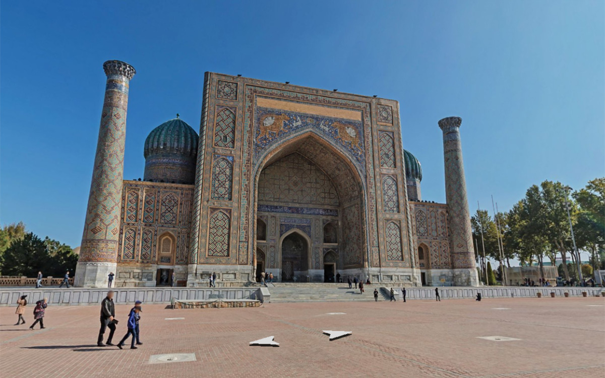
 Panoramic image of Registan square in Samarkand on Yandex Maps
Panoramic images of five cities in Uzbekistan are now available on Yandex Maps, the company’s representative in the country has announced in a press release.
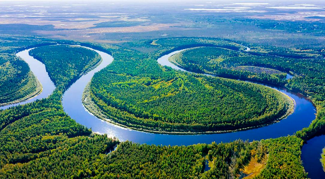
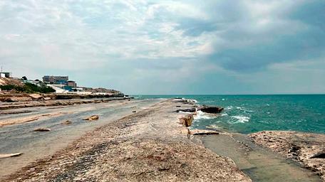
The images became accessible on the web mapping service on Friday 13 December. They cover most of Tashkent, Samarkand, Bukhara, Khiva and Nukus. They also include parts of Karakalpakstan – the Ustyurt Plateau, the solonchak deserts left by the retreating Aral Sea and the ancient fortified settlements on the banks of the Amu Darya.
A special vehicle with a roof-mounted camera was used to capture images of the country’s streets and sights. The shooting was carried out in October and November, as in this season the weather is cool and there is a soft lighting. In total almost 295,000 photos were taken, which were used to create more than 73,000 panoramas.
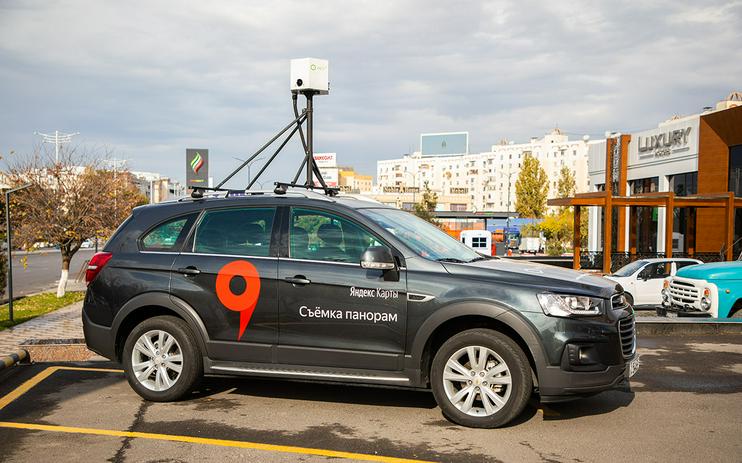 One of the cars used to take the panoramic photos in Uzbekistan. Photo from Yandex Maps press release
The total distance covered during the course of the campaign came to over two thousand kilometres. In some places, for instance inside of buildings or in pedestrian zones, the images were recorded by Yandex operatives moving around on foot. The salons of the Savitsky State Art Museum in Nukus and the new business park Tashkent City, notably, were photographed in this way.
The company underlined that the imaging process was carried out with the cooperation of local authorities, above all the State Committee for Tourism Development and the Ministry for Development of Information Technologies and Communications. The State Tourism Committee stated that Yandex Maps is the first major web mapping service to provide street panoramas of Uzbek cities on its platform.